Tools
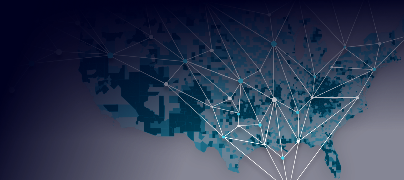
To assist users to better access KnowWhereGraph data, especially in the cases of our pilots, we developed a series of tools. Specifically, we provide Knowledge Explorer to help one readily query the graph by simply selecting facets or searching with keywords. We also offer extensions for ArcGIS and QGIS that allow GIS users to geo-enrich their projects with data drawn directly from KnowWhereGraph. With humanitarian relief specialists in mind, we offer a 3D geovisualization tool, GeoGraphVis, for searching for, visualizing, analyzing, and discovering knowledge in KnowWhereGraph that is relevant to disasters and disaster response. Finally, we implement the Crop Impact Assessment Tool, which helps one to understand food-supply chains, from farmers' lands to customers' tables, based on our densely connected graph.
All of our tools are developed under the license of Apache 2.
The Knowledge Explorer interface is a portal for exploring the KnowWhereGraph database. It provides a set of filters related to attributes-or facets-of the various datasets in the graph that allow a user to quickly refine their search. Clickable links in the search results encourage the user to explore data tangentially related to their initial query that may lead to new insights. Whether supporting a humanitarian response following a hurricane or projecting supply-chain consequences of a wildfire, the Knowledge Explorer's interface helps target and refine investigations by exposing properties of the graph's vast network of geographically referenced data...
Learn MoreInspired by Esri's Geo-Enrichment services and the Linked Data cloud, KnowWhereGraph starts with the concept of Geo-Enrichment, augments it with Semantic Web and Knowledge Graph (KG) technology, and proposes the idea of Knowledge Graph based Geo-Enrichment which aims at semantically enriching a given geospatial dataset with information from a cross-domain, up-to-date (Geographic) Knowledge Graph, namely KnowWhereGraph, from within a GIS \cite{mai2019deeply}.
Learn MoreThe GeoGraphVis tool, developed to support humanitarian response efforts following a disaster, visualizes data from KnowWhereGraph on a map. It allows a user to explore a hurricane's trajectory and impacts (e.g., death, property damage, etc.), health indicators related to the affected populations (e.g., prevalence of diabetes and obesity), as well as information on experts whose areas of expertise may critically support relief efforts. By presenting an integrated view, the platform quickly raises situational awareness regarding the environmental, infrastructure and social dimensions of a humanitarian disaster.
Learn MoreThe Crop Impact Assessment Tool enables one to explore the geographic footprint of past wildfires and their smoke plumes in relation to agricultural distribution, processing and retail facilities. Smoke and ash plumes can contaminate crops across areas far larger than those directly affected by wildfires, suppressing production of safe and consumable leafy greens. This tool enables stakeholders to estimate which compo
Learn More